Listings in Unmanned Vehicle Aircraft (UAV, Drone)


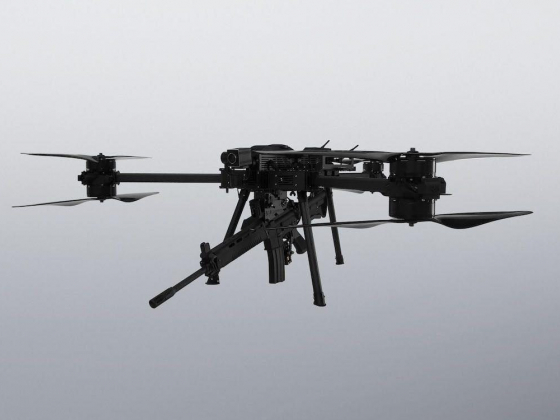
An unmanned aerial vehicle (UAV), commonly known as a drone, is an aircraft without any human pilot, crew, or passengers on board. UAVs are a component of an unmanned aircraft system (UAS), which includes adding a ground-based controller and a system of communications with the UAV. The flight of UAVs may operate under remote control by a human operator, as remotely-piloted aircraft (RPA), or with various degrees of autonomy, such as autopilot assistance, up to fully autonomous aircraft that have no provision for human intervention.

UAVs were originally developed through the twentieth century for military missions too "dull, dirty or dangerous" for humans, and by the twenty-first, they had become essential assets to most militaries. As control technologies improved and costs fell, their use expanded to many non-military applications. These include aerial photography, product deliveries, agriculture, policing and surveillance, infrastructure inspections, science, smuggling, and drone racing.

Showing 8 of 20 results
406,Marine Pride Khayaban-e-Iqbal, Clifton, Bock-7 Karachi 75500, Pakistan
We have a dedicated and highly experienced pool of avionics, aerospace engineers, mechatronics naval architects; marine engineers, experts in IT domain, mechanical engineering etc.
Kirkegaten 5 4836, Norway
STABLE is a developer of innovative stabilized launch and landing platforms for UAVs and drones.
No.160, Jiaozhong St. Xinyi Dist, Keelung City 20151, Taiwan, Taiwan
As a pioneer in sUAS and counter drone systems, DronesVision Inc. is dedicated to the development and manufacture of sUAS and counter drone systems. Such as our Skynet Anti-Drone Systems, Long Endurance Scout Drone, Assault Rotor Weaponized Drone.
25 Mornington Road, Smethwick, West Midlands B66 2JE, United Kingdom
Precision engineering supplies, manufacturing bespoke components and tooling for Aerospace, F1, Motorsports, oil, gas and marine, space and UAV engine systems.
SkyEye Sierra VTOL – Unmanned Aerial Vehicle–Mapping to Surveillance Missions
New York 10018, United States
• System modularity: one fuselage – multiple UAV configurations. • It can carry up to 3 kg of payload. Range (at Cruise) 320 KM = 198.84 miles .Endurance (at Cruise) 3 hrs. Electric – 5 hrs. Gas.
1 2

Download our app to your mobile phone